Interval
The playable loop moved from broad presentation to production detail.
Work began with an independent review of the poster and room changes, then expanded into grid balancing, dive-selection hierarchy, map accuracy, performance, accessibility, treasure presentation and development utilities. Repeated screenshot feedback pushed the maps from attractive regional context toward recognizable feature-scale technical charts, while verification grew from build checks into simulator interaction, visual, memory and leak testing.
Direction of travel
How the work evolved.
Each step connects the user’s prompt to the practical change it produced.
Reviewed
Independent review exposed two attract-mode gaps
Prompt: Have an independent reviewer inspect the equipment-room and poster changes for defects and missing tests.
Outcome: The review found that automatic poster movement ignored Reduced Motion and did not stop at initial touch-down. Both behaviors were subsequently corrected and covered by focused tests.
Rebalanced
Grid progression became more deliberate
Prompt: Start early levels with six words, add two portrait rows, limit near-width words, reduce edge-biased placement and revise the dive-selection and reef-progress displays.
Outcome: Ten levels now progress from six to twelve target words across taller rectangular grids. A campaign-wide constrained allocator enforces the 20% long-word ceiling without exhausting short words, and all site and difficulty pools remain valid.
Refined
The room and dive flow became clearer
Prompt: Make the equipment room brighter and more inviting, show feature explanations only once, enlarge regional maps, make dive choice full-screen and prepare playable grids before the user asks to start.
Outcome: The room became a sunlit beach-side dive shack, first-use prompts persist globally, regional maps use more screen space, dive choice is a full destination, and available grids prepare in the background with cancellation when the user leaves.
Production pass
Maps moved from stylized context to audited geography
Prompt: Make every regional and local map production-ready, recognizable at the location level and honest about geographic accuracy.
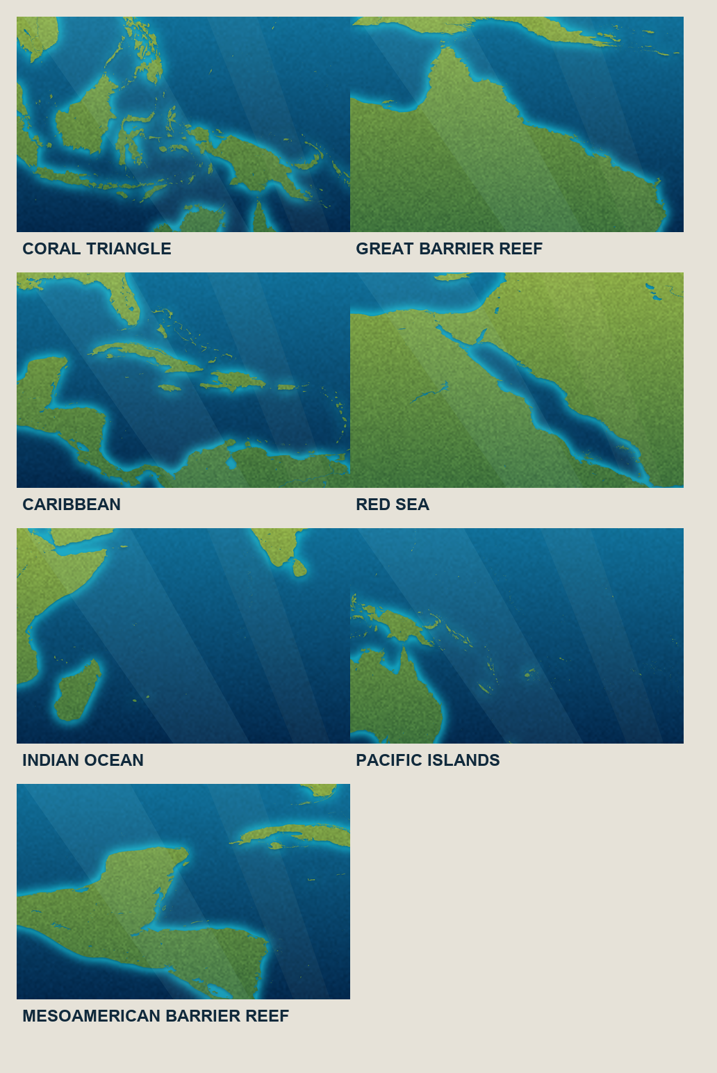
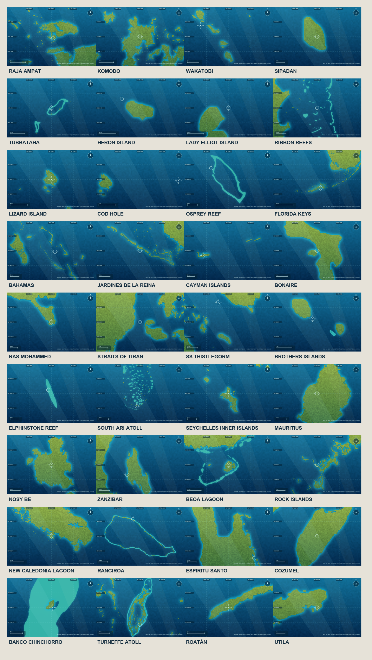
Outcome: Seven regional maps and 36 dedicated site charts now use audited coordinates and real coastline or reef geometry. Dense markers retain exact positions through leader lines, and local screens no longer enlarge regional crops.
Prompt-led correction
Local charts gained feature-scale technical detail
Prompt: Remove decorative coastline borders, zoom local maps to recognizable islands or reefs, and add coordinate grids, compass marks, scales and compact location reticles.
Outcome: All 36 site charts were individually reviewed and reframed. Offshore sites now show real reef systems or recognizable nearby geography rather than dots in open water, while the technical overlay remains crisp at phone scale.
Simplified
Gameplay and locked-region information became more useful
Prompt: Hide player-facing debug controls, place Resurface first in the HUD and explain exactly how locked regions become available.
Outcome: The HUD now reads Resurface, Level and Score; resurfacing returns to the dive flow; and locked-region guidance explains prerequisite progress, travel gems and early-unlock options.
Delivered
Development utilities expanded
Prompt: Add a word-pool CSV export, drill-down controls for reef, site and dive-mode access, and a gem-balance editor.
Outcome: The development hub now exports word usage across sites, persists explicit access overrides for each progression layer and supports manual or preset gem balances. State migration preserves older saves.
Integrated
The verified batch was consolidated
Prompt: Save the paused checkpoint, later publish the complete verified work, and return the workspace to its shared baseline.
Outcome: The full map, grid, room, poster, treasure, progression and development-tool batch was integrated after its final verification, leaving the workspace clean and aligned with the shared project state.
What improved
Improvements made.
Evidence-led changes grouped around the product, implementation, design and working process.
Stronger word-grid pacing
Early levels are easier to enter without flattening the finale. Taller portrait boards, an 81-word campaign schedule and catalogue-wide constraints preserve variety across all ten levels.
More readable reef progression
Each map pin now communicates Standard, Timed and Hard completion independently, overall progress is percentage-based, and completed pins only become ticks after all three modes are finished.
Background dive preparation
Each available dive option prepares its grid while the choice screen is visible. Work is cancelled and discarded when the player leaves, and a spinner appears only when a selected grid is genuinely not ready.
Recognizable production geography
Regional context and site-level charts now use appropriate scales, real geometry, audited representative coordinates, sharp technical overlays and explicit source provenance instead of hand-guessed crops.
Inviting equipment-room art
The functional room keeps its proven seven-poster, computer and safe geometry but replaces the dark industrial enclosure with daylight, warm timber and open beach views.
Cleaner gameplay HUD
Player-facing debug controls are hidden, the dive title is replaced by useful level and grid-size information, diagnostics appear only for unusual generation outcomes, and Resurface has the correct icon and destination.
Better reward presentation
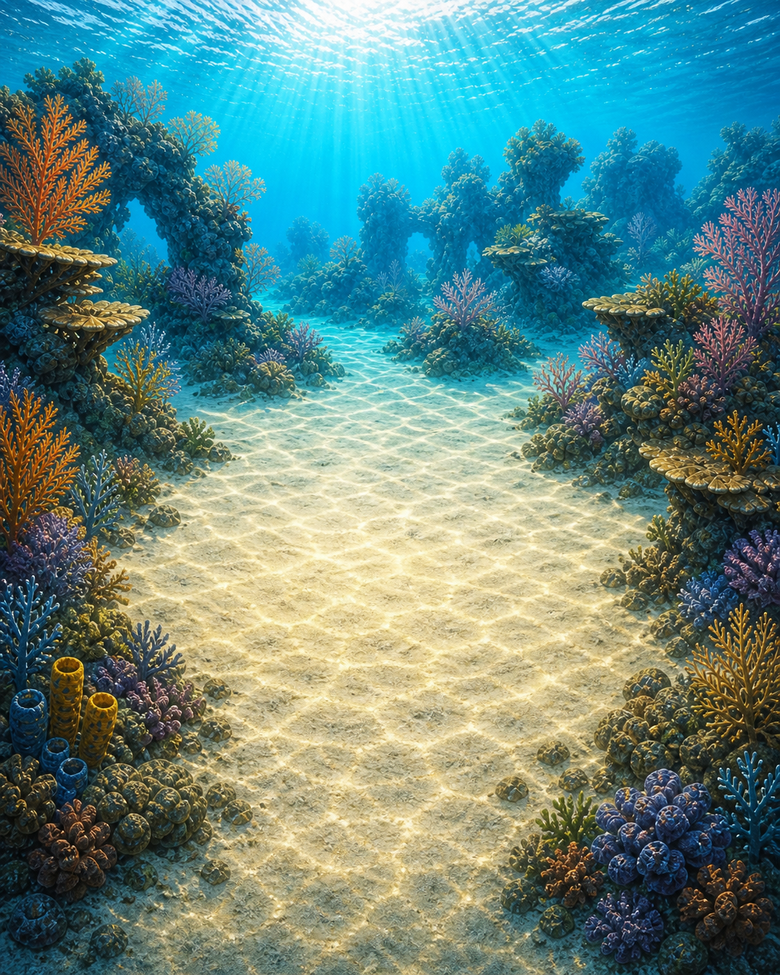
A compact production gem pile replaces placeholder iconography, while the treasure chest is grounded on a bright seabed at a believable scale rather than floating as an oversized overlay.
Accessible poster behavior
Automatic poster movement now respects Reduced Motion and stops immediately on first touch. Ten sticker assets were resized to their real display ceiling, reducing decoded-memory pressure without visible loss.
Useful development controls
Word reuse can be audited by CSV, access states can be changed at reef, site and mode level, and gem balances can be adjusted without modifying production-facing screens.
Pain points
Friction, constraints and open edges.
Resolved problems are separated from constraints and work that remains open.
Greedy word selection consumed scarce short words
The old safety fallback built one level at a time and could leave later levels without enough valid short words. Campaign-wide constrained allocation now plans all ten levels together.
The first production map pass was still too far out
Real coastlines alone did not make offshore sites recognizable. User screenshots and scale references triggered a second pass using reef and island geometry, individually chosen viewports and technical chart overlays.
Game maps are not dive-navigation charts
The maps use real coastline and reef geometry plus audited representative coordinates, but they do not contain surveyed bathymetry, exact reef boundaries or boat-entry data. The product requirements now state that limitation plainly.
Preferred visual and performance tools were not always available
One isolated renderer could not reproduce navigation-backed screens, the preferred trace tool was unavailable and one simulator integration was inaccessible. Direct app flows, focused components, memory graphs and ordinary simulator tests provided evidence instead.
Generated maps briefly targeted a disposable duplicate folder
A regeneration-path error created an unintended nested output directory. It was identified, removed and rerun against the real asset catalogue before final validation.
Development rows did not visibly refresh
Custom state bindings and empty row space made lock controls unreliable. Explicit observed-state actions and fully tappable rows now update and persist correctly in the simulator.
Outputs & proof
What was delivered and verified.
The final evidence spans catalogue validation, deterministic grid tests, simulator interaction, visual inspection, memory profiling and leak checks. Map reference sheets and phone-scale captures were reviewed alongside the live app, while development-tool state changes were exercised through complete navigation flows.
Verification record
- All 72 site-and-difficulty word pools pass the new grid and selection constraints.
- The final unit-test suite completed with 143 passing tests.
- Fourteen end-to-end UI scenarios passed with no failures or skipped cases during the complete map and gameplay pass.
- All seven regional maps and 36 local charts were generated, bundled and checked at their authored resolution.
- Regional and local map flows, edge cases and the three priority site charts were visually inspected on a phone simulator.
- The completed poster measured 20.9 MB active and 45.0 MB peak before image optimization, with no leaks; sticker resizing reduced the estimated decoded ceiling from roughly 63 MB to 41 MB.
- The treasure chest was visually confirmed on the seabed at roughly 45% of the scene width.
- Word export, progression overrides, gem editing and save migration passed focused model and simulator checks.
Key decisions
Beginning levels use six target words while the final level remains at twelve, keeping the complete campaign within each approved word pool.
Near-width words are limited during selection and fallback validation, rather than checked only after grid generation.
Available dive grids prepare in the background and are cancelled when their screen is abandoned.
Map accuracy starts with verifiable offline geometry and audited coordinates; playful styling is applied only after that baseline exists.
Dense map labels use exact coordinate anchors with leader lines rather than moving the underlying locations.
Commercial examples informed scale and information hierarchy only; no external artwork was copied.
Local maps are feature-scale technical game charts, not claims of navigational precision.
First-use room explanations are remembered across reefs instead of repeating in every equipment room.
Progression overrides remain development-only and are persisted through the same state model used by the app.
Visual checkpoints
Generated and edited images.
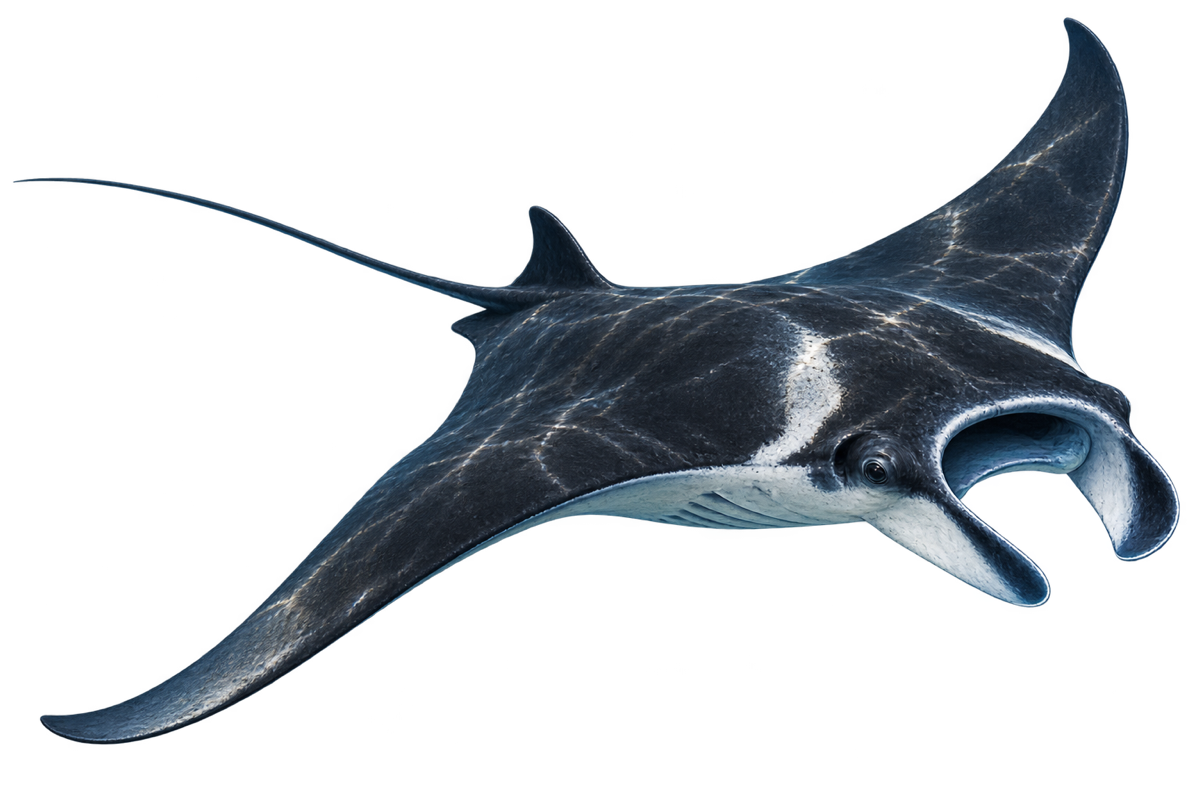
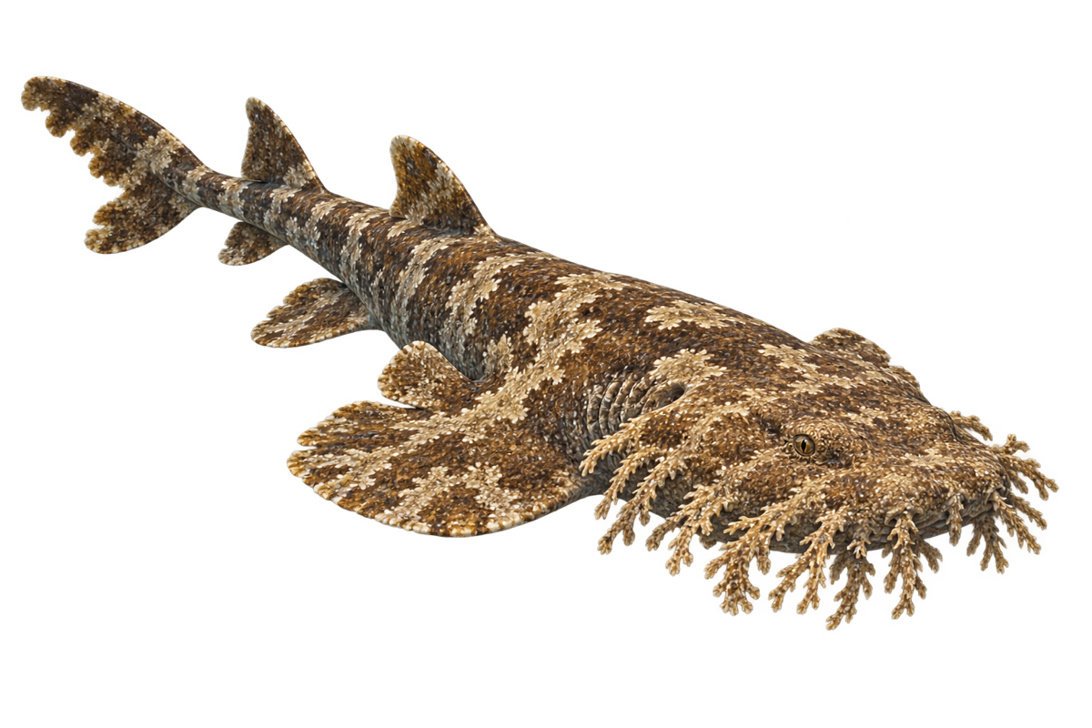
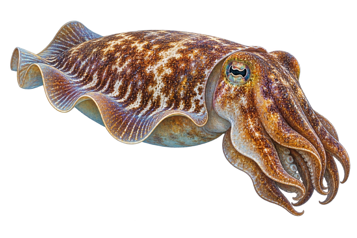
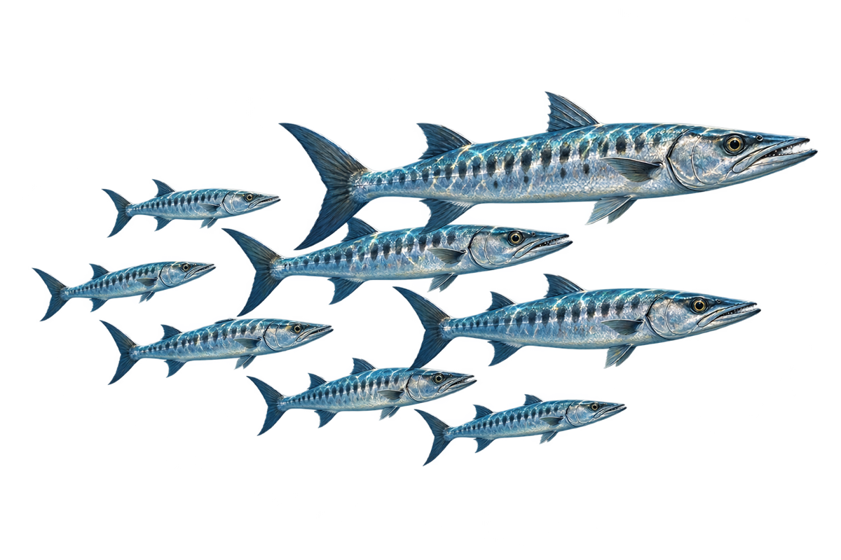
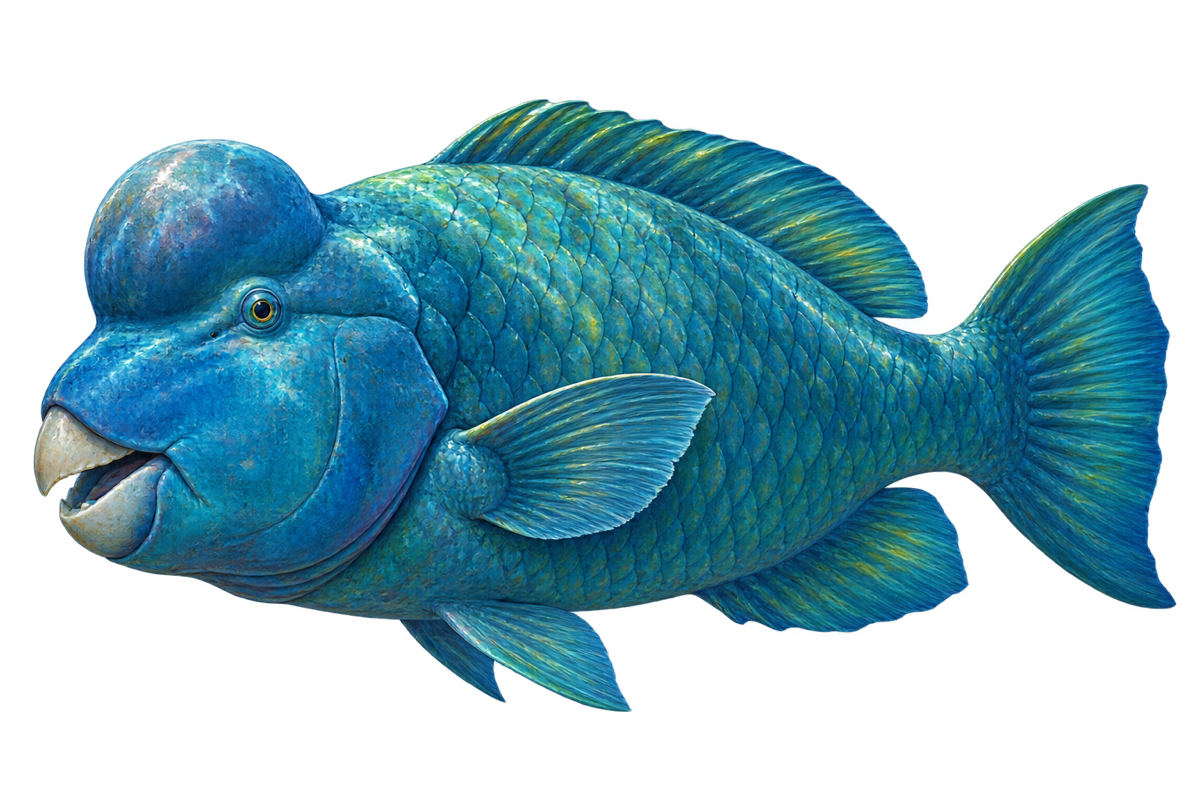
The visual record contains three new production art assets, consolidated reference sheets representing all 43 generated maps, and the ten sticker images after memory-focused optimization. The reference sheets preserve the complete map output without turning the page into a 43-image catalogue.






Next moves & open questions
Current position.
The grid, dive-selection, map, room, treasure, poster, locked-region and development-tool work is verified and integrated. The current product source of truth is version 0.56, the shared workspace is clean, and the remaining geographic limitation is explicit: these are accurate production game maps, not surveyed navigation charts.