Interval
A complete exploration layer, shaped by visual feedback.
The work began by prioritising the release blocker, then expanded into the visual and functional language for travelling between reefs. Prompt-by-prompt feedback moved the experience from broad concepts to a consistent Field atlas, interactive maps, visa and passport screens, and finally a quieter, more direct hierarchy that keeps each dive site's briefing in reach.
Direction of travel
How the work evolved.
Each step connects the user’s prompt to the practical change it produced.
Release ready
Clear the upload blockers first
Prompt: Resolve the reported validation failures before continuing with feature work, reusing the established app identity where possible.
Outcome: Missing messaging artwork was supplied, the extension configuration was corrected, and a freshly signed archive passed platform validation. The validated archive remains ready for a deliberate upload rather than being submitted automatically.
Direction chosen
Turn reef selection into a Field atlas
Prompt: Explore stronger visual approaches for site maps and choose a direction that can communicate locked, available and completed locations without losing the geographic view.
Outcome: Three approaches were compared. The Field atlas direction was selected because it joined destination imagery, dive status and progression while preserving the existing reef map as a separate navigational layer.
Designed
Show the full journey before building it
Prompt: Create reviewable concepts for every dive site, all seven reef maps, the reef visas and the world passport so the whole travel system could be judged together.
Outcome: A complete review gallery covered all 36 sites and seven regions, with independent map states, travel documents and distinct underwater scenes. The review exposed geographic and wildlife details that require continued editorial care.
Implemented
Build the atlas and travel documents
Prompt: Implement the approved screens with image-led navigation, clear dive-mode symbols and localised prices on the visa and passport offers.
Outcome: All 36 atlas destinations, seven visas and the world passport were integrated. Simulator review immediately caught and corrected a clipped back control and an apparently empty tap target.
Implemented
Make every reef map useful in context
Prompt: Add exact site locations, locked, ready and completed states, selected-site artwork, dive records, a Briefing action and progress beneath each map.
Outcome: Seven interactive maps now preserve selection, retain exact catalogue coordinates and displace only the labels for readability. Accessibility grouping was corrected after the first simulator pass.
Refined
Remove friction revealed by screenshots
Prompt: Align navigation, reduce explanatory chrome, simplify dive-state rows, keep the Briefing visible after selection and prevent an unnecessary preparation screen from flashing.
Outcome: The visual hierarchy became quieter and more direct: credits and artwork disclosure moved to Settings, redundant headings and borders disappeared, site information sits over the artwork, selection scrolls to the Briefing, and cached modes now open without a distracting preparation flash.
What improved
Improvements made.
Evidence-led changes grouped around the product, implementation, design and working process.
Validated release archive
The messaging extension now has the required artwork and target configuration, allowing platform validation to complete successfully.
Complete Field atlas
Every one of the 36 destinations has a consistent visual page with site identity, country, status and dive-mode information.
Seven stateful reef maps
Location, progression and selected-site context now work together across all reef regions without changing the underlying coordinates.
Travel credentials
Reef visas and the world passport make progression feel like a journey, with prices designed to come from the storefront's localised values.
Safer commerce groundwork
Gem packs, access entitlements and rewarded-ad placements were modelled while keeping actual purchasing and rewards disabled until secure verification is available.
Briefing-led navigation
Choosing a location now brings its Briefing action into view, while return navigation preserves the user's map selection.
Cleaner information hierarchy
Redundant labels, dividers, borders and per-site map expansions were removed; credits and generated-art disclosure now live in Settings.
Silent cached starts
Mode readiness is checked before a loading overlay appears, preventing a brief preparation flash while preserving background preloading.
Pain points
Friction, constraints and open edges.
Resolved problems are separated from constraints and work that remains open.
Validation failures blocked distribution
Several missing messaging icon sizes and an incorrect extension type stopped validation. Both the artwork and target setup were corrected before the archive was rechecked.
Early visual concepts were too flat
Repeated mockup and screenshot review was needed to turn a functional map into an exploration experience with useful imagery, states and progression.
Small interaction and accessibility defects
Visual and simulator checks found a clipped circular back control, a non-obvious tap area and an over-grouped location row. Each issue was corrected before the phase closed.
Preparation overlay flashed unnecessarily
The start sequence displayed loading before consulting the local readiness cache. Reordering that check removed the flash without weakening preload behaviour.
Purchases and rewarded ads remain inactive
A secure wallet service, storefront product bindings and prices, and server-verified reward handling are still required before the prepared commerce paths can be enabled.
Illustrative imagery needs geographic care
The generated visual set is useful for art direction, but reef geography, wildlife and anatomy still require human review before final production use.
Outputs & proof
What was delivered and verified.
The release archive passed platform validation, the new flows were exercised in focused unit and interface suites, and both browser-sized concepts and simulator screens were visually inspected across every reef.
Verification record
- A freshly signed release archive passed platform validation with the required messaging artwork present.
- Commerce and reward foundations passed 43 focused tests while remaining safely disabled.
- The atlas and travel-document implementation passed 45 unit checks and five end-to-end interface journeys.
- The seven-map implementation passed 28 unit checks and five interface journeys, including preserved selection and state changes.
- The final refinement pass completed focused checks and four simulator journeys spanning all seven reefs.
- The visual galleries covered all 36 destinations at phone width with no overflow, missing images or script failures.
- All seven map layouts retained valid geographic bounds and responded correctly to independent progress states.
Key decisions
Use the Field atlas as the main destination presentation while keeping geographic reef maps as a separate navigation layer.
Represent exploration with a snorkel, restricted access with a single tank, and deep access with twin tanks.
Keep exact site coordinates fixed and move only the labels when necessary for clarity.
Treat the starting reef as immediately accessible rather than requiring a paid visa.
Display storefront-provided localised prices and show an unavailable state when a valid price cannot be supplied.
Move image disclosure and map credits into Settings to keep destination screens focused on the dive.
Consult cached readiness before presenting preparation UI, while keeping background preload silent.
Keep commerce and ad rewards disabled until wallet, product and server-verification integrations are complete.
Visual checkpoints
Generated and edited images.
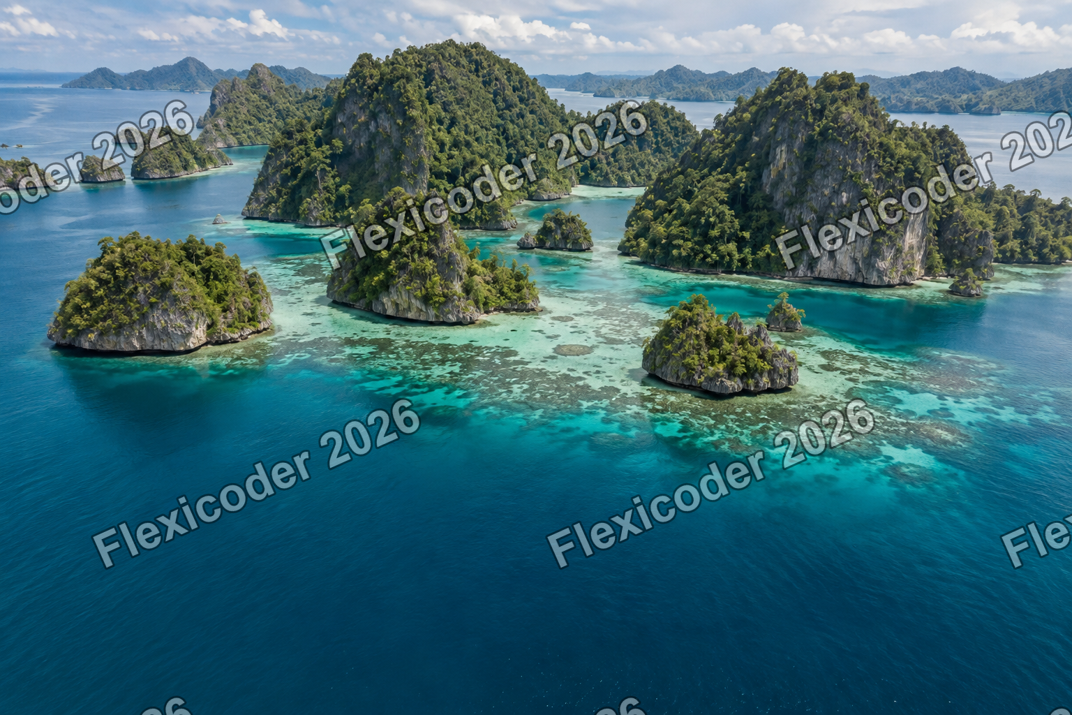
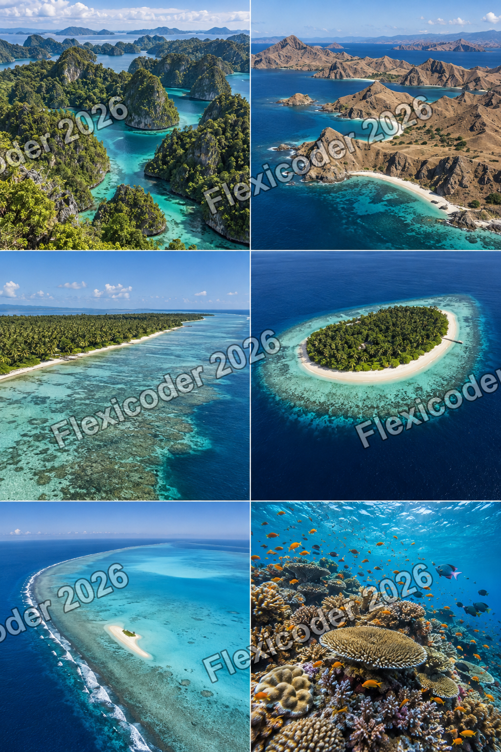
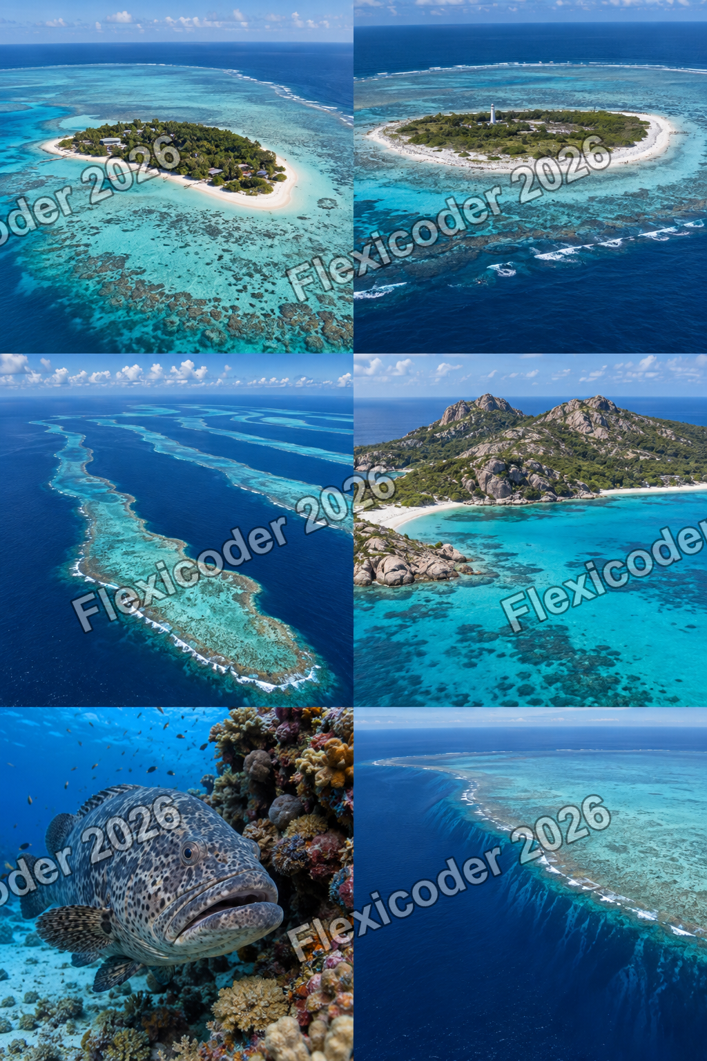
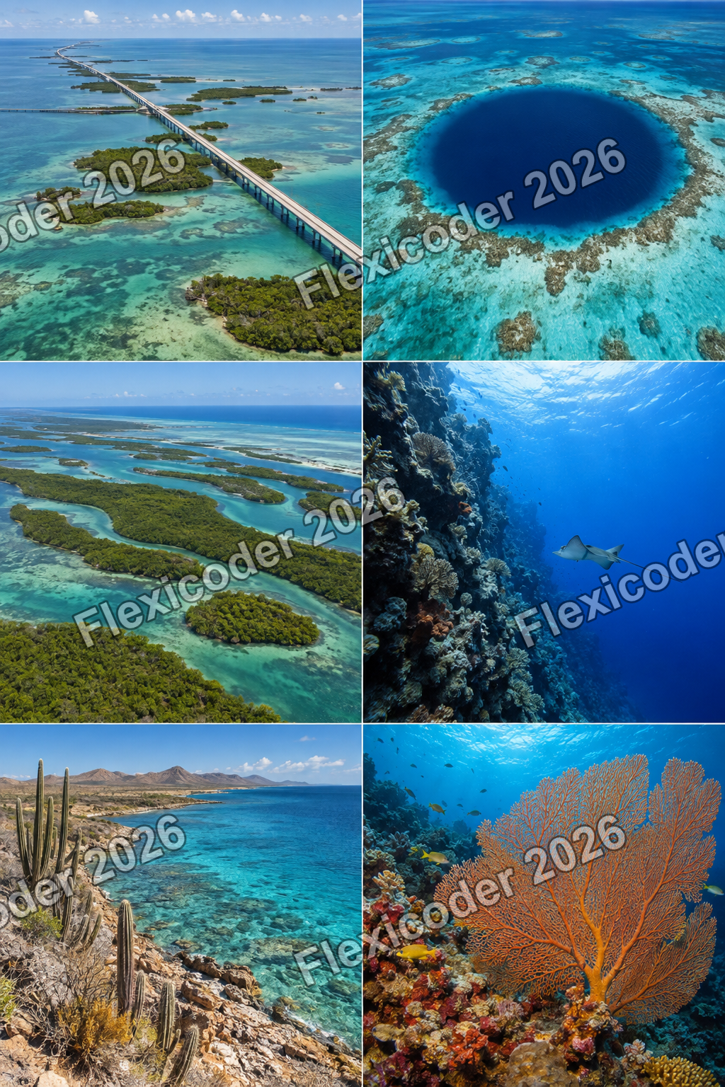
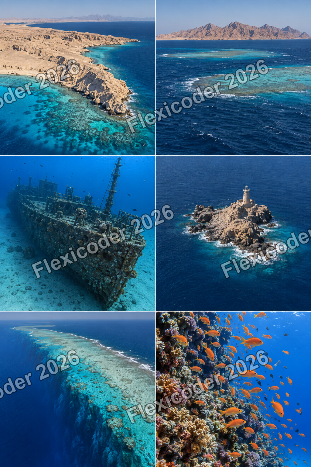
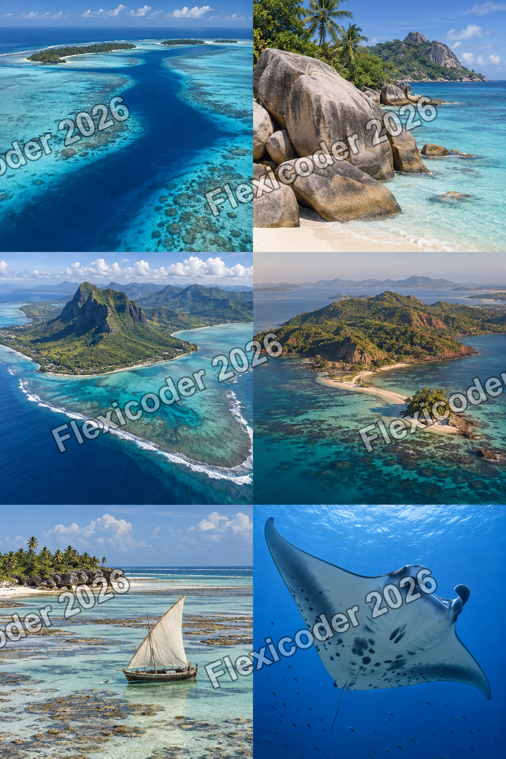
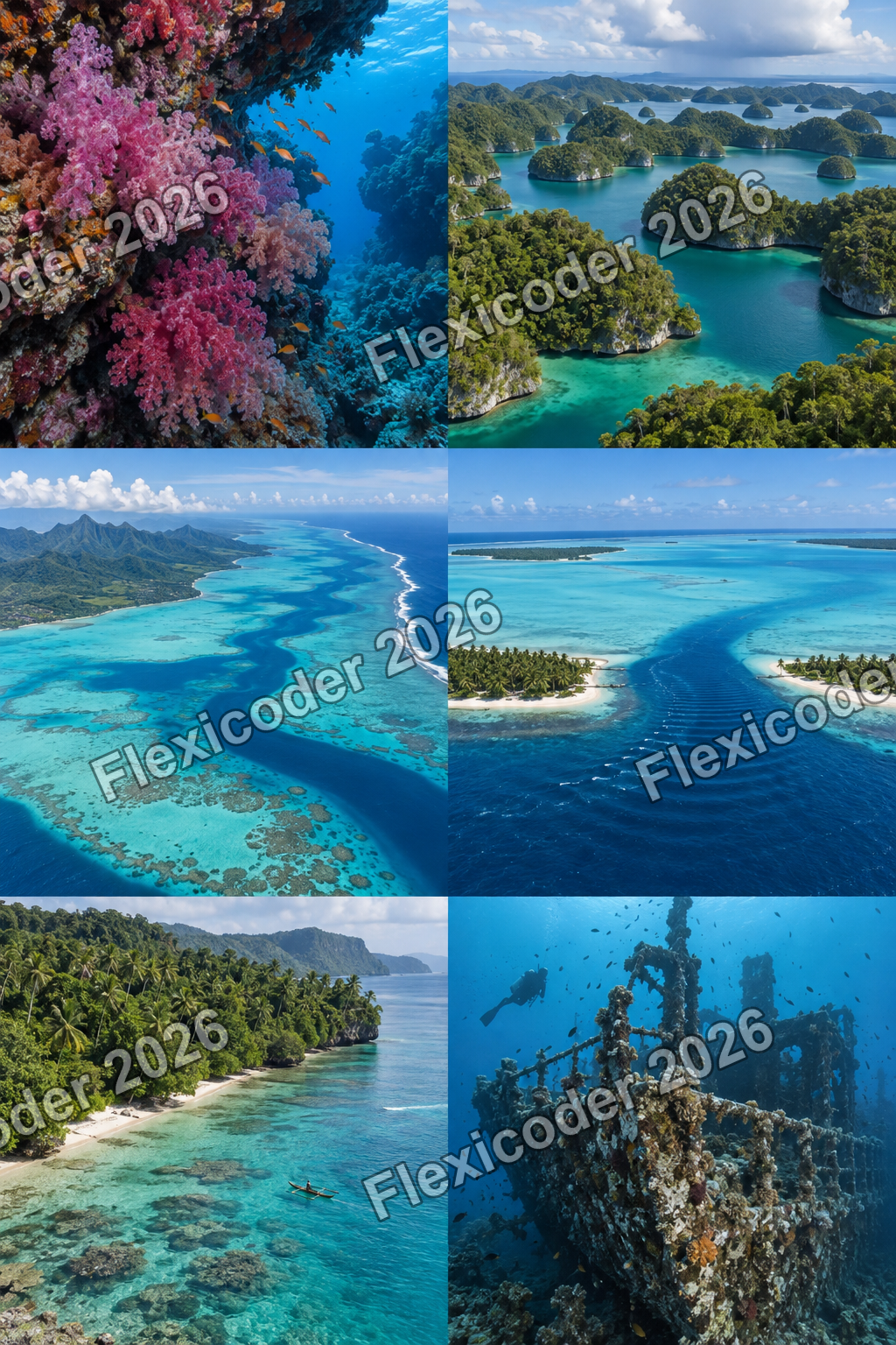
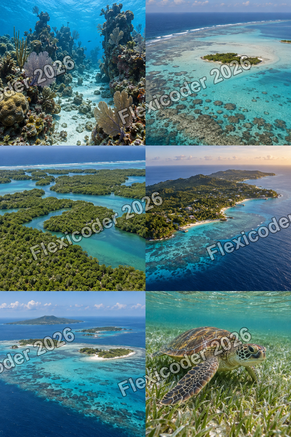
The visual record begins with the selected Field atlas mood and continues through seven regional contact sheets. Together they establish a broad art direction for all 36 destinations, including reef structures, wrecks, blue holes, mangroves, pelagic encounters and regional travel character.
Next moves & open questions
Current position.
The Field atlas, seven reef maps, visas and passport are implemented and refined, and the release archive has passed validation. The next delivery decision is whether to upload that archive. Purchases and rewarded ads remain intentionally unavailable until their secure integrations and verified product data are complete.